 vesseltracker.com
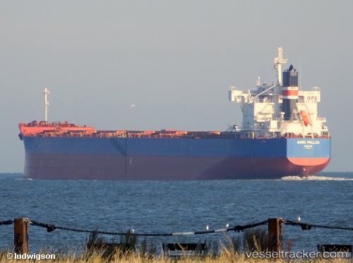
 TIMORSUN
Current Status
Where is the vessel?
TIMORSUN is currently in 36 nm SW of Kiamari, based on AIS data received about 15h ago.
Latest AIS update:
Current position: 24.37338° N, 66.52551° E (36 nm SW of Kiamari)
Average speed (last 7 days): Loading…
Average speed (last 30 days): Loading…
Vessel profile: TIMORSUN is a Cargo with dimensions m x m.
This page combines live AIS, route history, probable destination signals, nearby traffic, and port activity for practical vessel monitoring.
The current position of vessel TIMORSUN is 24.37338 lat / 66.52551 lng. Updated: 2026-05-17 22:16:16 UTCNearest reference points:
- 16 nm S of Kiamari
- Near Kiamari
- Near PORT QASIM
Currently sailing under the flag of Liberia ![]()
Details:
Live Vessel TIMORSUN Analytics (details, animations, etc.)
Recent AIS points (UTC):
2026-05-17 19:17:04 UTC · 24.37370, 66.52533 · SOG 0.1 kn · COG 255°2026-05-17 19:36:47 UTC · 24.37345, 66.52542 · SOG 0.1 kn · COG 264°
2026-05-17 21:25:47 UTC · 24.37341, 66.52545 · SOG 0.4 kn · COG 264°
2026-05-17 22:16:16 UTC · 24.37338, 66.52551 · SOG 0.3 kn · COG 256°