 AFRICAN ICEBIRD
Current Status
Where is the vessel?
AFRICAN ICEBIRD is currently in 29 nm NE of Sebang, based on AIS data received about 14h ago.
Latest AIS update:
Current position: 6.22134° N, 95.68528° E (29 nm NE of Sebang)
Average speed (last 7 days): Loading…
Average speed (last 30 days): Loading…
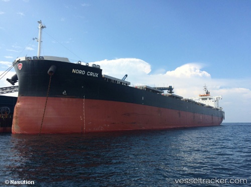
Vessel profile: AFRICAN ICEBIRD is a Cargo with dimensions m x m.
This page combines live AIS, route history, probable destination signals, nearby traffic, and port activity for practical vessel monitoring.
The current position of vessel AFRICAN ICEBIRD is 6.22134 lat / 95.68528 lng. Updated: 2026-06-04 04:34:12 UTCNearest reference points:
- 21 nm N of Sebang
- 53 nm NE of Sebang
- 28 nm NW of Sebang
Currently sailing under the flag of Bahamas ![]()
Details:
Live Vessel AFRICAN ICEBIRD Analytics (details, animations, etc.)
Recent AIS points (UTC):
2026-06-04 01:03:29 UTC · 6.26454, 95.00043 · SOG 12.2 kn · COG 94°2026-06-04 01:56:47 UTC · 6.27739, 95.17967 · SOG 12 kn · COG -1°
2026-06-04 03:57:17 UTC · 6.24292, 95.56998 · SOG 10.8 kn · COG -1°
2026-06-04 04:34:12 UTC · 6.22134, 95.68528 · SOG 11 kn · COG 104°