Cotswold
Current StatusWhere is the vessel?
Cotswold is currently in 69 nm NW of Burtonport, based on AIS data received about 14h ago.
Latest AIS update:
Current position: 55.62392° N, 10.11012° W (69 nm NW of Burtonport)
Average speed (last 7 days): Loading…
Average speed (last 30 days): Loading…
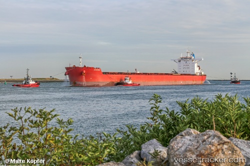
Vessel profile: Cotswold is a Lpg Tanker with dimensions 45m x 292m.
This page combines live AIS, route history, probable destination signals, nearby traffic, and port activity for practical vessel monitoring.
The current position of vessel Cotswold is 55.62392 lat / -10.11012 lng. Updated: 2026-05-20 16:03:52 UTCNearest reference points:
- 10 nm NE of Belmullet
Details:
Live Vessel Cotswold Analytics (details, animations, etc.)
Recent AIS points (UTC):
2026-05-20 11:20:44 UTC · 56.39833, -9.78500 · SOG 9 kn · COG -1°2026-05-20 11:56:46 UTC · 56.30333, -9.83500 · SOG 9 kn · COG -1°
2026-05-20 13:32:48 UTC · 56.03833, -9.94167 · SOG 10 kn · COG -1°
2026-05-20 16:03:52 UTC · 55.62392, -10.11012 · SOG 10.2 kn · COG 195°