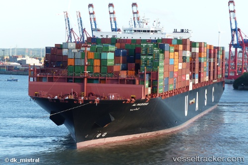
 AL MASHRAB
Current Status
Where is the vessel?
AL MASHRAB is currently in 270 nm W of LHOKNGA, based on AIS data received about 15h ago.
Latest AIS update:
Current position: 5.85466° N, 90.73583° E (270 nm W of LHOKNGA)
Average speed (last 7 days): Loading…
Average speed (last 30 days): Loading…
Vessel profile: AL MASHRAB is a Cargo A with dimensions m x m.
This page combines live AIS, route history, probable destination signals, nearby traffic, and port activity for practical vessel monitoring.
The current position of vessel AL MASHRAB is 5.85466 lat / 90.73583 lng. Updated: 2026-05-22 07:45:16 UTCNearest reference points:
- 243 nm E of Abakaliki
- 172 nm W of LHOKNGA
- 160 nm W of Sebang
Currently sailing under the flag of Liberia ![]()
Details:
Live Vessel AL MASHRAB Analytics (details, animations, etc.)
Recent AIS points (UTC):
2026-05-22 07:25:16 UTC · 5.85446, 90.66523 · SOG 12.7 kn · COG 94°2026-05-22 07:25:16 UTC · 5.85446, 90.66523 · SOG 12.7 kn · COG 94°
2026-05-22 07:45:16 UTC · 5.85466, 90.73583 · SOG 12.4 kn · COG 95°
2026-05-22 07:45:16 UTC · 5.85466, 90.73583 · SOG 12.4 kn · COG 95°