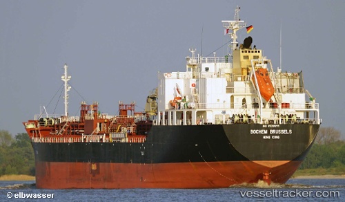
 MELDERSKIN
Current Status
Where is the vessel?
MELDERSKIN is currently in 15 nm E of Mundra Port SEZ, based on AIS data received about 14h ago.
Latest AIS update:
Current position: 22.81427° N, 69.99890° E (15 nm E of Mundra Port SEZ)
Average speed (last 7 days): Loading…
Average speed (last 30 days): Loading…
Vessel profile: MELDERSKIN is a Tanker C with dimensions m x m.
This page combines live AIS, route history, probable destination signals, nearby traffic, and port activity for practical vessel monitoring.
The current position of vessel MELDERSKIN is 22.81427 lat / 69.99890 lng. Updated: 2026-05-19 04:52:00 UTCNearest reference points:
- 12 nm N of Rozi
- 15 nm N of Rozi
- Near Rozi
Currently sailing under the flag of Norway ![]()
Details:
Live Vessel MELDERSKIN Analytics (details, animations, etc.)
Recent AIS points (UTC):
2026-05-19 01:29:25 UTC · 22.81318, 69.99622 · SOG 0 kn · COG 45°2026-05-19 01:49:22 UTC · 22.81320, 69.99621 · SOG 1.2 kn · COG 46°
2026-05-19 03:29:12 UTC · 22.81326, 69.99636 · SOG 0 kn · COG -1°
2026-05-19 04:52:00 UTC · 22.81427, 69.99890 · SOG 0 kn · COG 250°