 vesseltracker.com
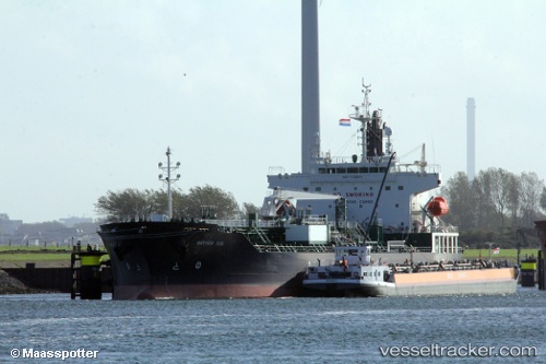
 CHEM SOL
Current Status
Where is the vessel?
CHEM SOL is currently in 141 nm SW of Nootka, based on AIS data received about 14h ago.
Latest AIS update:
Current position: 48.53665° N, 129.82137° W (141 nm SW of Nootka)
Average speed (last 7 days): Loading…
Average speed (last 30 days): Loading…
Vessel profile: CHEM SOL is a Tanker with dimensions m x m.
This page combines live AIS, route history, probable destination signals, nearby traffic, and port activity for practical vessel monitoring.
The current position of vessel CHEM SOL is 48.53665 lat / -129.82137 lng. Updated: 2026-05-17 23:26:51 UTCNearest reference points:
- 29 nm NW of Coal Harbour
- Near PORT HARDY
Currently sailing under the flag of Liberia ![]()
Details:
Live Vessel CHEM SOL Analytics (details, animations, etc.)
Recent AIS points (UTC):
2026-05-17 20:22:59 UTC · 48.53165, -128.82243 · SOG 13.3 kn · COG 271°2026-05-17 21:21:15 UTC · 48.53330, -129.14217 · SOG 12.9 kn · COG 273°
2026-05-17 22:29:57 UTC · 48.54243, -129.51299 · SOG 12.8 kn · COG 271°
2026-05-17 23:26:51 UTC · 48.53665, -129.82137 · SOG 13.1 kn · COG 269°