 vesseltracker.com
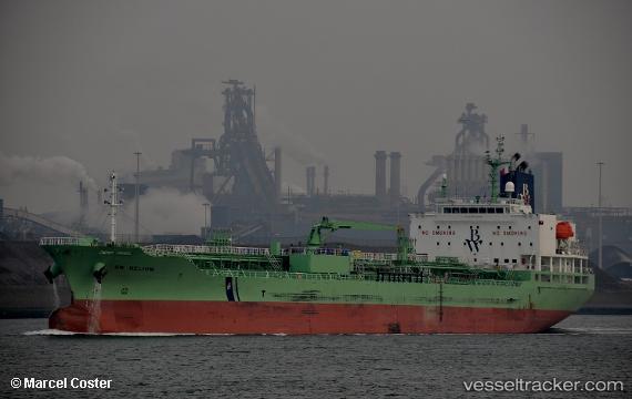
 LAVENDER RAY
Current Status
Where is the vessel?
LAVENDER RAY is currently in 50 nm SE of San Clodio, based on AIS data received about 14h ago.
Latest AIS update:
Current position: 47.94333° N, 6.33667° W (50 nm SE of San Clodio)
Average speed (last 7 days): Loading…
Average speed (last 30 days): Loading…
Vessel profile: LAVENDER RAY is a Chemical/Oil Products Tanker with dimensions 24m x 147m.
This page combines live AIS, route history, probable destination signals, nearby traffic, and port activity for practical vessel monitoring.
The current position of vessel LAVENDER RAY is 47.94333 lat / -6.33667 lng. Updated: 2026-05-18 04:05:50 UTCNearest reference points:
- 60 nm SE of San Clodio
- 35 nm SW of Ile D’Ouessant
- 46 nm W of SEIN
Currently sailing under the flag of Liberia ![]()
LAVENDER RAY built in 2017 year
Deadweight:
19994 tDetails:
Live Vessel LAVENDER RAY Analytics (details, animations, etc.)
Recent AIS points (UTC):
2026-05-17 23:30:27 UTC · 48.82396, -6.39089 · SOG 13.1 kn · COG 201°2026-05-18 01:27:52 UTC · 48.43250, -6.51553 · SOG 11.4 kn · COG 185°
2026-05-18 01:33:53 UTC · 48.41347, -6.51843 · SOG 11.3 kn · COG 184°
2026-05-18 04:05:50 UTC · 47.94333, -6.33667 · SOG 12 kn · COG -1°