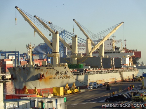
 RONG AN CHENG
Current Status
Where is the vessel?
RONG AN CHENG is currently in 60 nm S of San Juan, based on AIS data received about 14h ago.
Latest AIS update:
Current position: 16.34526° S, 75.18969° W (60 nm S of San Juan)
Average speed (last 7 days): Loading…
Average speed (last 30 days): Loading…
Vessel profile: RONG AN CHENG is a Cargo D with dimensions m x m.
This page combines live AIS, route history, probable destination signals, nearby traffic, and port activity for practical vessel monitoring.
The current position of vessel RONG AN CHENG is -16.34526 lat / -75.18969 lng. Updated: 2026-05-20 05:52:30 UTCNearest reference points:
- 110 nm SW of San Juan
Currently sailing under the flag of China ![]()
Details:
Live Vessel RONG AN CHENG Analytics (details, animations, etc.)
Recent AIS points (UTC):
2026-05-20 02:18:34 UTC · -15.81420, -75.64490 · SOG 11.2 kn · COG 140°2026-05-20 03:53:32 UTC · -16.04585, -75.44667 · SOG 11.6 kn · COG 143°
2026-05-20 04:40:33 UTC · -16.16364, -75.34537 · SOG 11.8 kn · COG 141°
2026-05-20 05:52:30 UTC · -16.34526, -75.18969 · SOG 11.6 kn · COG 140°