 SPIRIT OF KOBE
Current Status
Where is the vessel?
SPIRIT OF KOBE is currently in Near Bayuquan, based on AIS data received about 14h ago.
Latest AIS update:
Current position: 40.29037° N, 122.09235° E (Near Bayuquan)
Average speed (last 7 days): Loading…
Average speed (last 30 days): Loading…
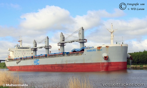
Vessel profile: SPIRIT OF KOBE is a Cargo with dimensions m x m.
This page combines live AIS, route history, probable destination signals, nearby traffic, and port activity for practical vessel monitoring.
The current position of vessel SPIRIT OF KOBE is 40.29037 lat / 122.09235 lng. Updated: 2026-05-20 21:30:57 UTCNearest reference points:
- Near Bayuquan
- 15 nm W of Bayuquan
- 17 nm SW of PANJIN
Currently sailing under the flag of Marshall Islands ![]()
Details:
Live Vessel SPIRIT OF KOBE Analytics (details, animations, etc.)
Recent AIS points (UTC):
2026-05-20 17:06:53 UTC · 40.29032, 122.09230 · SOG 0 kn · COG 63°2026-05-20 18:21:56 UTC · 40.29033, 122.09233 · SOG 0 kn · COG 63°
2026-05-20 19:06:57 UTC · 40.29035, 122.09226 · SOG 0 kn · COG 63°
2026-05-20 21:30:57 UTC · 40.29037, 122.09235 · SOG 0 kn · COG 63°