 ANTALYA
Current Status
Where is the vessel?
ANTALYA is currently in 80 nm SW of Ben Slimane, based on AIS data received about 15h ago.
Latest AIS update:
Current position: 32.65505° N, 72.31735° W (80 nm SW of Ben Slimane)
Average speed (last 7 days): Loading…
Average speed (last 30 days): Loading…
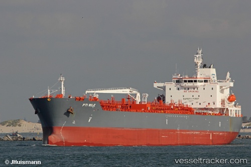
Vessel profile: ANTALYA is a Tanker with dimensions m x m.
This page combines live AIS, route history, probable destination signals, nearby traffic, and port activity for practical vessel monitoring.
The current position of vessel ANTALYA is 32.65505 lat / -72.31735 lng. Updated: 2026-05-19 02:19:25 UTCNearest reference points:
- 150 nm S of Ben Slimane
- 91 nm E of Rodanthe
Currently sailing under the flag of Marshall Islands ![]()
Details:
Live Vessel ANTALYA Analytics (details, animations, etc.)
Recent AIS points (UTC):
2026-05-18 22:38:35 UTC · 32.09570, -72.83381 · SOG 11.1 kn · COG 35°2026-05-18 23:34:30 UTC · 32.23754, -72.70848 · SOG 11.5 kn · COG 38°
2026-05-19 01:47:51 UTC · 32.57500, -72.39167 · SOG 11 kn · COG -1°
2026-05-19 02:19:25 UTC · 32.65505, -72.31735 · SOG 11.5 kn · COG 38°