 LCT GALAXY 9
Current Status
Where is the vessel?
LCT GALAXY 9 is currently in 57 nm NE of Sukatani, based on AIS data received about 15h ago.
Latest AIS update:
Current position: 5.63754° S, 108.41126° E (57 nm NE of Sukatani)
Average speed (last 7 days): Loading…
Average speed (last 30 days): Loading…
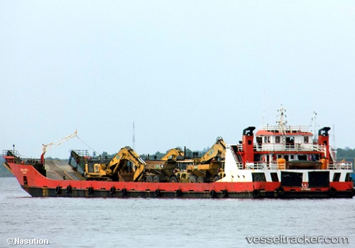
Vessel profile: LCT GALAXY 9 is a Cargo with dimensions m x m.
This page combines live AIS, route history, probable destination signals, nearby traffic, and port activity for practical vessel monitoring.
The current position of vessel LCT GALAXY 9 is -5.63754 lat / 108.41126 lng. Updated: 2026-05-20 00:00:44 UTCNearest reference points:
- 25 nm N of Gunungsari
- 31 nm NE of Rengasdengklok
- 26 nm N of Pemalang
Currently sailing under the flag of Indonesia ![]()
Details:
Live Vessel LCT GALAXY 9 Analytics (details, animations, etc.)
Recent AIS points (UTC):
2026-05-19 18:25:57 UTC · -5.60418, 108.80986 · SOG 4.7 kn · COG -1°2026-05-19 18:25:57 UTC · -5.60418, 108.80986 · SOG 4.7 kn · COG -1°
2026-05-19 23:07:39 UTC · -5.63275, 108.46965 · SOG 3 kn · COG -1°
2026-05-20 00:00:44 UTC · -5.63754, 108.41126 · SOG 3.2 kn · COG -1°