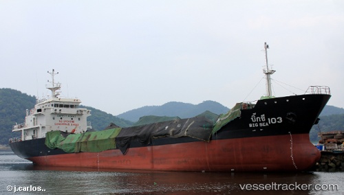
 BIG SEA 103
Current Status
Where is the vessel?
BIG SEA 103 is currently in 21 nm NE of Hat Yai International Apt, based on AIS data received about 14h ago.
Latest AIS update:
Current position: 7.23630° N, 100.56672° E (21 nm NE of Hat Yai International Apt)
Average speed (last 7 days): Loading…
Average speed (last 30 days): Loading…
Vessel profile: BIG SEA 103 is a Tanker with dimensions m x m.
This page combines live AIS, route history, probable destination signals, nearby traffic, and port activity for practical vessel monitoring.
The current position of vessel BIG SEA 103 is 7.23630 lat / 100.56672 lng. Updated: 2026-05-20 04:51:04 UTCNearest reference points:
- Near LANGKAWI
- 13 nm SW of Sathun
- Near Tanjung Lembung
Currently sailing under the flag of Thailand ![]()
Details:
Live Vessel BIG SEA 103 Analytics (details, animations, etc.)
Recent AIS points (UTC):
2026-05-20 02:05:58 UTC · 7.23630, 100.56674 · SOG 0 kn · COG 129°2026-05-20 02:15:59 UTC · 7.23630, 100.56674 · SOG 0 kn · COG 129°
2026-05-20 03:37:02 UTC · 7.23628, 100.56672 · SOG 0 kn · COG 129°
2026-05-20 04:51:04 UTC · 7.23630, 100.56672 · SOG 0 kn · COG 129°