 NORA
NORA
Current Status
Where is the vessel?
NORA is currently in 73 nm NE of FRASER ISLAND, based on AIS data received about 14h ago.
Latest AIS update:
Current position: 24.58549° S, 154.04269° E (73 nm NE of FRASER ISLAND)
Average speed (last 7 days): Loading…
Average speed (last 30 days): Loading…
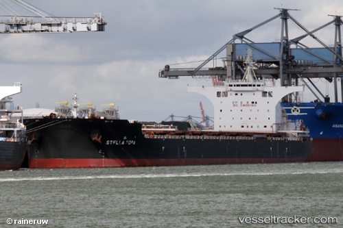
Vessel profile: NORA is a Bulk Carrier with dimensions 292m x 292m.
This page combines live AIS, route history, probable destination signals, nearby traffic, and port activity for practical vessel monitoring.
The current position of vessel NORA is -24.58549 lat / 154.04269 lng. Updated: 2026-05-20 10:52:39 UTCNearest reference points:
- Near HERVEY BAY
- Near Bundaberg
- Near Tin Can Bay
Currently sailing under the flag of Malta ![]()
NORA built in 2016 year
Deadweight:
181031 tDetails:
Live Vessel NORA Analytics (details, animations, etc.)
Recent AIS points (UTC):
2026-05-20 07:33:33 UTC · -23.99847, 154.02892 · SOG 10.5 kn · COG 177°2026-05-20 07:35:19 UTC · -24.00376, 154.02908 · SOG 10.5 kn · COG 178°
2026-05-20 09:42:38 UTC · -24.37980, 154.03854 · SOG 10.8 kn · COG 177°
2026-05-20 10:52:39 UTC · -24.58549, 154.04269 · SOG 10.5 kn · COG 178°