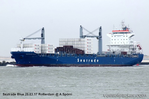
 CMA CGM BLUE
Current Status
Where is the vessel?
CMA CGM BLUE is currently in 71 nm NE of Seica, based on AIS data received about 14h ago.
Latest AIS update:
Current position: 41.03500° N, 49.12667° W (71 nm NE of Seica)
Average speed (last 7 days): Loading…
Average speed (last 30 days): Loading…
Vessel profile: CMA CGM BLUE is a Cargo with dimensions m x m.
This page combines live AIS, route history, probable destination signals, nearby traffic, and port activity for practical vessel monitoring.
The current position of vessel CMA CGM BLUE is 41.03500 lat / -49.12667 lng. Updated: 2026-05-23 02:36:14 UTCNearest reference points:
- 63 nm SE of Azuara
- 76 nm SW of Seica
Currently sailing under the flag of Malta ![]()
Details:
Live Vessel CMA CGM BLUE Analytics (details, animations, etc.)
Recent AIS points (UTC):
2026-05-22 21:27:09 UTC · 40.60320, -51.10902 · SOG 18.2 kn · COG 73°2026-05-22 23:04:29 UTC · 40.73922, -50.48737 · SOG 18.2 kn · COG 76°
2026-05-23 01:42:39 UTC · 40.95915, -49.47830 · SOG 18.2 kn · COG 74°
2026-05-23 02:36:14 UTC · 41.03500, -49.12667 · SOG 19 kn · COG -1°