 PORT PIRIE
Current Status
Where is the vessel?
PORT PIRIE is currently in 68 nm N of Georgetown, Grand Cayman, based on AIS data received about 16h ago.
Latest AIS update:
Current position: 20.39345° N, 81.66858° W (68 nm N of Georgetown, Grand Cayman)
Average speed (last 7 days): Loading…
Average speed (last 30 days): Loading…
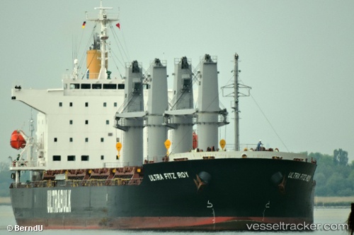
Vessel profile: PORT PIRIE is a Cargo with dimensions m x m.
This page combines live AIS, route history, probable destination signals, nearby traffic, and port activity for practical vessel monitoring.
The current position of vessel PORT PIRIE is 20.39345 lat / -81.66858 lng. Updated: 2026-05-22 07:36:14 UTCNearest reference points:
- Near Georgetown, Grand Cayman
Currently sailing under the flag of Singapore ![]()
Details:
Live Vessel PORT PIRIE Analytics (details, animations, etc.)
Recent AIS points (UTC):
2026-05-22 04:32:58 UTC · 20.30475, -81.02121 · SOG 12.2 kn · COG 278°2026-05-22 06:13:45 UTC · 20.35168, -81.37427 · SOG 11.9 kn · COG 277°
2026-05-22 07:08:18 UTC · 20.37905, -81.56820 · SOG 12.3 kn · COG 277°
2026-05-22 07:36:14 UTC · 20.39345, -81.66858 · SOG 12.3 kn · COG 277°