 vesseltracker.com
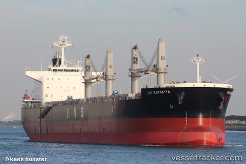
 IOANNIS
Current Status
Where is the vessel?
IOANNIS is currently in 18 nm NW of Llanwrda, based on AIS data received about 14h ago.
Latest AIS update:
Current position: 52.08050° N, 3.42159° E (18 nm NW of Llanwrda)
Average speed (last 7 days): Loading…
Average speed (last 30 days): Loading…
Vessel profile: IOANNIS is a Cargo with dimensions m x m.
This page combines live AIS, route history, probable destination signals, nearby traffic, and port activity for practical vessel monitoring.
The current position of vessel IOANNIS is 52.08050 lat / 3.42159 lng. Updated: 2026-05-18 14:14:26 UTCNearest reference points:
- 12 nm NE of Hunsdon
- Near Hunsdon
- Near NEELTJE JANS
Currently sailing under the flag of Malta ![]()
Details:
Live Vessel IOANNIS Analytics (details, animations, etc.)
Recent AIS points (UTC):
2026-05-18 10:46:26 UTC · 51.81273, 3.33251 · SOG 0.2 kn · COG 356°2026-05-18 11:53:00 UTC · 51.81356, 3.33534 · SOG 0.3 kn · COG 291°
2026-05-18 13:38:35 UTC · 51.94842, 3.39513 · SOG 13.1 kn · COG 2°
2026-05-18 14:14:26 UTC · 52.08050, 3.42159 · SOG 13.7 kn · COG 2°