 vesseltracker.com
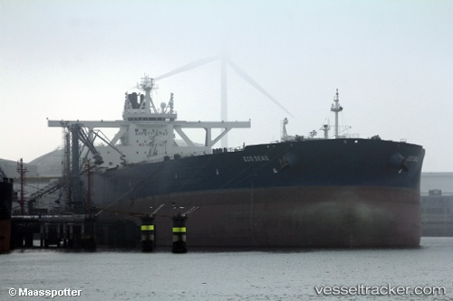
 ADVANTAGE VERITY
Current Status
Where is the vessel?
ADVANTAGE VERITY is currently in 225 nm N of Port Mathurin, based on AIS data received about 14h ago.
Latest AIS update:
Current position: 16.12916° S, 62.18843° E (225 nm N of Port Mathurin)
Average speed (last 7 days): Loading…
Average speed (last 30 days): Loading…
Vessel profile: ADVANTAGE VERITY is a Tanker with dimensions m x m.
This page combines live AIS, route history, probable destination signals, nearby traffic, and port activity for practical vessel monitoring.
The current position of vessel ADVANTAGE VERITY is -16.12916 lat / 62.18843 lng. Updated: 2026-05-17 19:35:12 UTCNearest reference points:
- 241 nm N of Port Mathurin
- 219 nm NW of Port Mathurin
- 106 nm NW of Port Mathurin
Currently sailing under the flag of Marshall Islands ![]()
Details:
Live Vessel ADVANTAGE VERITY Analytics (details, animations, etc.)
Recent AIS points (UTC):
2026-05-17 17:05:40 UTC · -15.79408, 62.68327 · SOG 14 kn · COG 232°2026-05-17 18:15:37 UTC · -15.94923, 62.45187 · SOG 14.3 kn · COG 234°
2026-05-17 19:19:47 UTC · -16.09397, 62.23998 · SOG 14.1 kn · COG 233°
2026-05-17 19:35:12 UTC · -16.12916, 62.18843 · SOG 14.2 kn · COG 234°