 vesseltracker.com
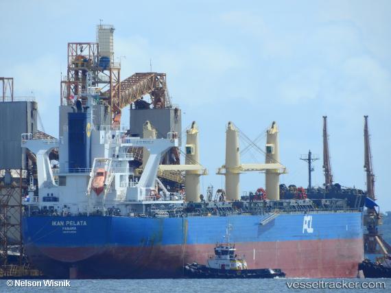
 UNITY TRITON
Current Status
Where is the vessel?
UNITY TRITON is currently in 385 nm NE of Windermere, based on AIS data received about 14h ago.
Latest AIS update:
Current position: 30.60500° S, 12.02333° W (385 nm NE of Windermere)
Average speed (last 7 days): Loading…
Average speed (last 30 days): Loading…
Vessel profile: UNITY TRITON is a Cargo with dimensions m x m.
This page combines live AIS, route history, probable destination signals, nearby traffic, and port activity for practical vessel monitoring.
The current position of vessel UNITY TRITON is -30.60500 lat / -12.02333 lng. Updated: 2026-05-18 05:47:15 UTCNearest reference points:
- Open sea, approx. 400 nm off the nearest listed port
- Open sea, approx. 402 nm off the nearest listed port
- Open sea, approx. 401 nm off the nearest listed port
Currently sailing under the flag of Bahamas ![]()
Details:
Live Vessel UNITY TRITON Analytics (details, animations, etc.)
Recent AIS points (UTC):
2026-05-18 01:34:15 UTC · -30.71353, -11.19798 · SOG 10.3 kn · COG 277°2026-05-18 04:10:36 UTC · -30.64853, -11.70403 · SOG 10 kn · COG 275°
2026-05-18 04:54:47 UTC · -30.62717, -11.84802 · SOG 10.5 kn · COG 276°
2026-05-18 05:47:15 UTC · -30.60500, -12.02333 · SOG 10 kn · COG -1°