 METIS MARU
Current Status
Where is the vessel?
METIS MARU is currently in 389 nm NE of Port Mathurin, based on AIS data received about 14h ago.
Latest AIS update:
Current position: 15.41349° S, 68.52506° E (389 nm NE of Port Mathurin)
Average speed (last 7 days): Loading…
Average speed (last 30 days): Loading…
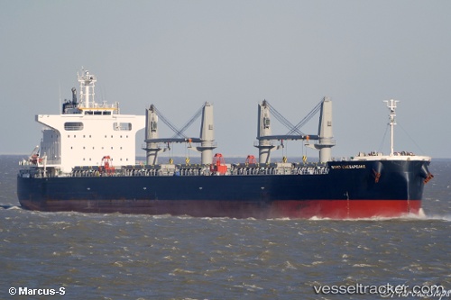
Vessel profile: METIS MARU is a Cargo with dimensions m x m.
This page combines live AIS, route history, probable destination signals, nearby traffic, and port activity for practical vessel monitoring.
The current position of vessel METIS MARU is -15.41349 lat / 68.52506 lng. Updated: 2026-05-19 07:50:15 UTCNearest reference points:
- Open sea, approx. 402 nm off the nearest listed port
- Open sea, approx. 403 nm off the nearest listed port
- Open sea, approx. 404 nm off the nearest listed port
Currently sailing under the flag of Marshall Islands ![]()
Details:
Live Vessel METIS MARU Analytics (details, animations, etc.)
Recent AIS points (UTC):
2026-05-19 04:48:25 UTC · -15.15071, 69.02456 · SOG 10.9 kn · COG 242°2026-05-19 05:49:26 UTC · -15.23160, 68.85308 · SOG 11 kn · COG 241°
2026-05-19 07:37:22 UTC · -15.39306, 68.55885 · SOG 10.8 kn · COG 239°
2026-05-19 07:50:15 UTC · -15.41349, 68.52506 · SOG 10.5 kn · COG 238°