 vesseltracker.com
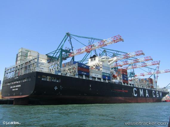
 VUNG TAU EXPRESS
Current Status
Where is the vessel?
VUNG TAU EXPRESS is currently in 19 nm E of Putian, based on AIS data received about 14h ago.
Latest AIS update:
Current position: 24.53967° N, 119.33693° E (19 nm E of Putian)
Average speed (last 7 days): Loading…
Average speed (last 30 days): Loading…
Vessel profile: VUNG TAU EXPRESS is a Cargo A with dimensions m x m.
This page combines live AIS, route history, probable destination signals, nearby traffic, and port activity for practical vessel monitoring.
The current position of vessel VUNG TAU EXPRESS is 24.53967 lat / 119.33693 lng. Updated: 2026-05-18 00:06:18 UTCNearest reference points:
- 19 nm NE of Putian
- 23 nm SE of XIUYU
- 17 nm SW of Damaiyu
Currently sailing under the flag of Singapore ![]()
Details:
Live Vessel VUNG TAU EXPRESS Analytics (details, animations, etc.)
Recent AIS points (UTC):
2026-05-17 20:17:57 UTC · 25.18813, 120.16445 · SOG 15.9 kn · COG 223°2026-05-17 22:05:05 UTC · 24.83952, 119.80418 · SOG 15.7 kn · COG 232°
2026-05-17 22:09:35 UTC · 24.82738, 119.78689 · SOG 15.8 kn · COG 232°
2026-05-18 00:06:18 UTC · 24.53967, 119.33693 · SOG 15.5 kn · COG 231°