 Liberty Peace
Current Status
Where is the vessel?
Liberty Peace is currently in 22 nm N of TENES, based on AIS data received about 14h ago.
Latest AIS update:
Current position: 36.88356° N, 1.32275° E (22 nm N of TENES)
Average speed (last 7 days): Loading…
Average speed (last 30 days): Loading…
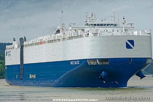
Vessel profile: Liberty Peace is a Vehicles Carrier with dimensions 199m x 199m.
This page combines live AIS, route history, probable destination signals, nearby traffic, and port activity for practical vessel monitoring.
The current position of vessel Liberty Peace is 36.88356 lat / 1.32275 lng. Updated: 2026-05-22 01:27:34 UTCNearest reference points:
- 17 nm S of Albanchez
- 50 nm N of Mostaganem
- Near Mostaganem
Currently sailing under the flag of USA ![]()
Details:
Live Vessel Liberty Peace Analytics (details, animations, etc.)
Recent AIS points (UTC):
2026-05-21 20:12:59 UTC · 37.19861, 2.87195 · SOG 14.9 kn · COG 263°2026-05-21 21:55:04 UTC · 37.16118, 2.36286 · SOG 14.7 kn · COG 265°
2026-05-21 22:10:58 UTC · 37.16005, 2.28132 · SOG 14.8 kn · COG 268°
2026-05-22 01:27:34 UTC · 36.88356, 1.32275 · SOG 15.1 kn · COG 247°