Jimmy T
Current StatusWhere is the vessel?
Jimmy T is currently in 32 nm NW of Kaibola, based on AIS data received about 14h ago.
Latest AIS update:
Current position: 8.01196° S, 150.75481° E (32 nm NW of Kaibola)
Average speed (last 7 days): Loading…
Average speed (last 30 days): Loading…
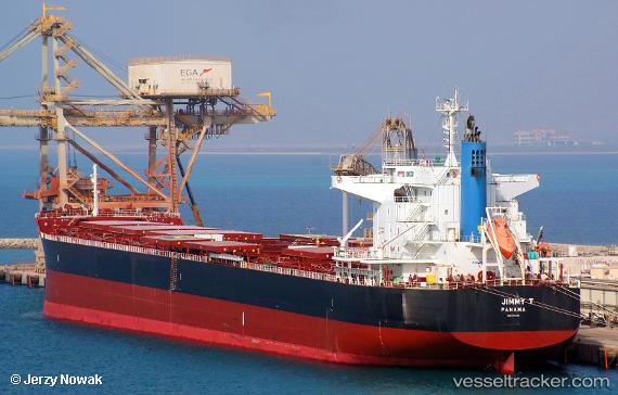
Vessel profile: Jimmy T is a Bulk Carrier with dimensions 32m x 228m.
This page combines live AIS, route history, probable destination signals, nearby traffic, and port activity for practical vessel monitoring.
The current position of vessel Jimmy T is -8.01196 lat / 150.75481 lng. Updated: 2026-05-20 00:14:49 UTCNearest reference points:
- 42 nm E of Tami Island
Details:
Live Vessel Jimmy T Analytics (details, animations, etc.)
Recent AIS points (UTC):
2026-05-19 19:42:29 UTC · -7.54127, 150.03191 · SOG 10.9 kn · COG 117°2026-05-19 22:12:36 UTC · -7.79783, 150.43016 · SOG 11.3 kn · COG 119°
2026-05-19 22:23:57 UTC · -7.81736, 150.46040 · SOG 11.3 kn · COG 120°
2026-05-20 00:14:49 UTC · -8.01196, 150.75481 · SOG 11.3 kn · COG 120°