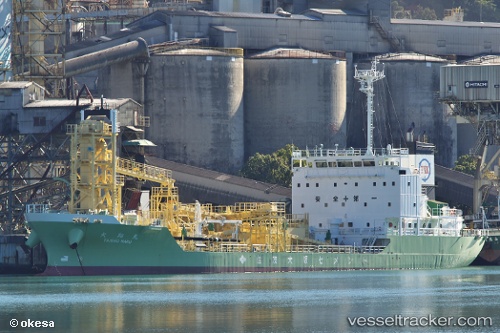
 Taisho Maru
Current Status
Where is the vessel?
Taisho Maru is currently in 15 nm SW of OMAEZAKI, based on AIS data received about 14h ago.
Latest AIS update:
Current position: 34.41692° N, 138.06013° E (15 nm SW of OMAEZAKI)
Average speed (last 7 days): Loading…
Average speed (last 30 days): Loading…
Vessel profile: Taisho Maru is a Cement Carrier with dimensions 96m x 96m.
This page combines live AIS, route history, probable destination signals, nearby traffic, and port activity for practical vessel monitoring.
The current position of vessel Taisho Maru is 34.41692 lat / 138.06013 lng. Updated: 2026-05-22 05:02:57 UTCNearest reference points:
- 17 nm SW of OMAEZAKI
- Near OMAEZAKI
- Near Iruma
Currently sailing under the flag of Japan ![]()
Details:
Live Vessel Taisho Maru Analytics (details, animations, etc.)
Recent AIS points (UTC):
2026-05-22 01:27:38 UTC · 34.54113, 138.93082 · SOG 14.1 kn · COG 246°2026-05-22 01:54:14 UTC · 34.51732, 138.80704 · SOG 13.8 kn · COG 258°
2026-05-22 03:24:19 UTC · 34.46529, 138.43990 · SOG 11.9 kn · COG 263°
2026-05-22 05:02:57 UTC · 34.41692, 138.06013 · SOG 11.7 kn · COG 258°