 RISING SKY.GR
Current Status
Where is the vessel?
RISING SKY.GR is currently in 68 nm S of Coral Bay, based on AIS data received about 15h ago.
Latest AIS update:
Current position: 24.21978° S, 113.39813° E (68 nm S of Coral Bay)
Average speed (last 7 days): Loading…
Average speed (last 30 days): Loading…
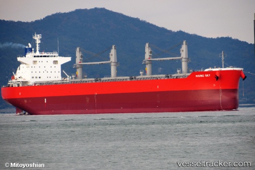
Vessel profile: RISING SKY.GR is a Cargo with dimensions m x m.
This page combines live AIS, route history, probable destination signals, nearby traffic, and port activity for practical vessel monitoring.
The current position of vessel RISING SKY.GR is -24.21978 lat / 113.39813 lng. Updated: 2026-05-21 13:48:30 UTCNearest reference points:
- 139 nm SW of Coral Bay
Currently sailing under the flag of Marshall Islands ![]()
Details:
Live Vessel RISING SKY.GR Analytics (details, animations, etc.)
Recent AIS points (UTC):
2026-05-21 10:12:33 UTC · -24.21982, 113.39815 · SOG 0 kn · COG 273°2026-05-21 12:09:30 UTC · -24.21978, 113.39816 · SOG 0 kn · COG 273°
2026-05-21 13:30:30 UTC · -24.21982, 113.39816 · SOG 0 kn · COG 272°
2026-05-21 13:48:30 UTC · -24.21978, 113.39813 · SOG 0.1 kn · COG 272°