 MARCANDREA
Current Status
Where is the vessel?
MARCANDREA is currently in 13 nm S of Marina di Ragusa, based on AIS data received about 16h ago.
Latest AIS update:
Current position: 36.56265° N, 14.49897° E (13 nm S of Marina di Ragusa)
Average speed (last 7 days): Loading…
Average speed (last 30 days): Loading…
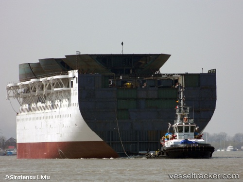
Vessel profile: MARCANDREA is a Tug with dimensions m x m.
This page combines live AIS, route history, probable destination signals, nearby traffic, and port activity for practical vessel monitoring.
The current position of vessel MARCANDREA is 36.56265 lat / 14.49897 lng. Updated: 2026-05-20 18:57:49 UTCNearest reference points:
- 17 nm S of Marina di Ragusa
- Near Marina di Ragusa
- Near Scoglitti
Currently sailing under the flag of Malta ![]()
Details:
Live Vessel MARCANDREA Analytics (details, animations, etc.)
Recent AIS points (UTC):
2026-05-20 16:15:40 UTC · 36.81370, 14.17582 · SOG 7.6 kn · COG 140°2026-05-20 16:22:16 UTC · 36.80340, 14.18517 · SOG 7.2 kn · COG 144°
2026-05-20 17:32:45 UTC · 36.68640, 14.31170 · SOG 8.4 kn · COG 128°
2026-05-20 18:57:49 UTC · 36.56265, 14.49897 · SOG 8.2 kn · COG 140°