 KASSAB
Current Status
Where is the vessel?
KASSAB is currently in 40 nm SE of Quintana, based on AIS data received about 14h ago.
Latest AIS update:
Current position: 28.48144° N, 94.73393° W (40 nm SE of Quintana)
Average speed (last 7 days): Loading…
Average speed (last 30 days): Loading…
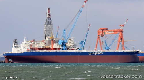
Vessel profile: KASSAB is a Tanker with dimensions m x m.
This page combines live AIS, route history, probable destination signals, nearby traffic, and port activity for practical vessel monitoring.
The current position of vessel KASSAB is 28.48144 lat / -94.73393 lng. Updated: 2026-05-20 10:11:44 UTCNearest reference points:
- 39 nm S of Sheppard
- 56 nm SE of Quintana
- 49 nm SE of Sheppard
Currently sailing under the flag of Saudi Arabia ![]()
Details:
Live Vessel KASSAB Analytics (details, animations, etc.)
Recent AIS points (UTC):
2026-05-20 08:02:44 UTC · 28.48172, -94.73367 · SOG 0.1 kn · COG 79°2026-05-20 08:11:32 UTC · 28.48186, -94.73372 · SOG 0.1 kn · COG 80°
2026-05-20 10:01:59 UTC · 28.48167, -94.73333 · SOG 0 kn · COG -1°
2026-05-20 10:11:44 UTC · 28.48144, -94.73393 · SOG 0.2 kn · COG 85°