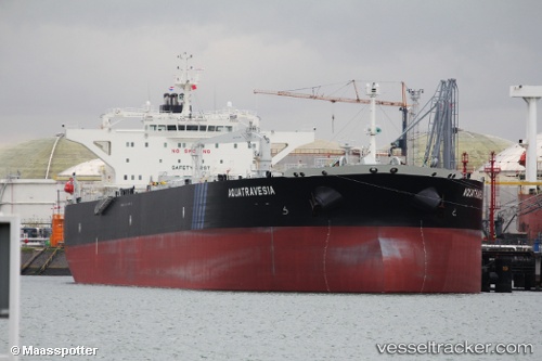
 Aquatravesia
Current Status
Where is the vessel?
Aquatravesia is currently in 120 nm SW of Santo Tomas, based on AIS data received about 14h ago.
Latest AIS update:
Current position: 30.56420° N, 118.71002° W (120 nm SW of Santo Tomas)
Average speed (last 7 days): Loading…
Average speed (last 30 days): Loading…
Vessel profile: Aquatravesia is a Crude Oil Tanker with dimensions 244m x 43m.
This page combines live AIS, route history, probable destination signals, nearby traffic, and port activity for practical vessel monitoring.
The current position of vessel Aquatravesia is 30.56420 lat / -118.71002 lng. Updated: 2026-05-20 13:36:51 UTCNearest reference points:
- 35 nm W of Del Mar, San Diego
- Near Ensenada
- 32 nm NW of Punta Baja
Currently sailing under the flag of Liberia ![]()
Details:
Live Vessel Aquatravesia Analytics (details, animations, etc.)
Recent AIS points (UTC):
2026-05-20 10:29:45 UTC · 29.97952, -118.79977 · SOG 11.4 kn · COG 2°2026-05-20 12:16:34 UTC · 30.31751, -118.76924 · SOG 11.6 kn · COG 4°
2026-05-20 13:08:13 UTC · 30.47980, -118.74924 · SOG 11.1 kn · COG 19°
2026-05-20 13:36:51 UTC · 30.56420, -118.71002 · SOG 11.6 kn · COG 20°