 ROCK N ROLL
Current Status
Where is the vessel?
ROCK N ROLL is currently in Near Mersin, based on AIS data received about 14h ago.
Latest AIS update:
Current position: 36.77410° N, 34.67555° E (Near Mersin)
Average speed (last 7 days): Loading…
Average speed (last 30 days): Loading…
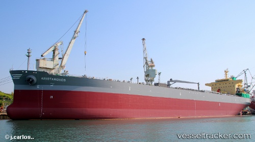
Vessel profile: ROCK N ROLL is a Tanker with dimensions m x m.
This page combines live AIS, route history, probable destination signals, nearby traffic, and port activity for practical vessel monitoring.
The current position of vessel ROCK N ROLL is 36.77410 lat / 34.67555 lng. Updated: 2026-05-20 05:44:29 UTCNearest reference points:
- Near Mersin
- Near Mersin-Free Zone
- Near YUMURTALIC
Currently sailing under the flag of Marshall Islands ![]()
Details:
Live Vessel ROCK N ROLL Analytics (details, animations, etc.)
Recent AIS points (UTC):
2026-05-20 01:47:29 UTC · 36.77410, 34.67557 · SOG 0.1 kn · COG 212°2026-05-20 04:23:31 UTC · 36.77413, 34.67552 · SOG 0.1 kn · COG 212°
2026-05-20 04:26:29 UTC · 36.77407, 34.67554 · SOG 0 kn · COG 212°
2026-05-20 05:44:29 UTC · 36.77410, 34.67555 · SOG 0 kn · COG 212°