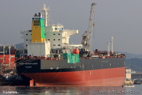
 HIGH ADVENTURER
Current Status
Where is the vessel?
HIGH ADVENTURER is currently in Near Victoria, based on AIS data received about 14h ago.
Latest AIS update:
Current position: 4.62652° S, 55.46392° E (Near Victoria)
Average speed (last 7 days): Loading…
Average speed (last 30 days): Loading…
Vessel profile: HIGH ADVENTURER is a Tanker with dimensions m x m.
This page combines live AIS, route history, probable destination signals, nearby traffic, and port activity for practical vessel monitoring.
The current position of vessel HIGH ADVENTURER is -4.62652 lat / 55.46392 lng. Updated: 2026-05-18 19:31:20 UTCNearest reference points:
- Near Mahé Island Apt
- Near Ile Desroches
Currently sailing under the flag of Liberia ![]()
Details:
Live Vessel HIGH ADVENTURER Analytics (details, animations, etc.)
Recent AIS points (UTC):
2026-05-18 15:31:19 UTC · -4.62651, 55.46392 · SOG 0 kn · COG 130°2026-05-18 17:02:54 UTC · -4.62500, 55.46333 · SOG 0 kn · COG -1°
2026-05-18 17:47:48 UTC · -4.62500, 55.46333 · SOG 0 kn · COG -1°
2026-05-18 19:31:20 UTC · -4.62652, 55.46392 · SOG 0 kn · COG 130°