 ARAUCARIA
Current Status
Where is the vessel?
ARAUCARIA is currently in Near Koumac, based on AIS data received about 14h ago.
Latest AIS update:
Current position: 20.49537° S, 164.17012° E (Near Koumac)
Average speed (last 7 days): Loading…
Average speed (last 30 days): Loading…
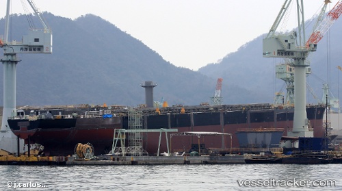
Vessel profile: ARAUCARIA is a Cargo with dimensions m x m.
This page combines live AIS, route history, probable destination signals, nearby traffic, and port activity for practical vessel monitoring.
The current position of vessel ARAUCARIA is -20.49537 lat / 164.17012 lng. Updated: 2026-05-19 20:00:17 UTCNearest reference points:
- Near Noumea
Currently sailing under the flag of Marshall Islands ![]()
Details:
Live Vessel ARAUCARIA Analytics (details, animations, etc.)
Recent AIS points (UTC):
2026-05-19 16:36:17 UTC · -20.49535, 164.17014 · SOG 0 kn · COG 163°2026-05-19 18:00:20 UTC · -20.49528, 164.17010 · SOG 0 kn · COG 163°
2026-05-19 19:36:17 UTC · -20.49538, 164.17015 · SOG 0 kn · COG 163°
2026-05-19 20:00:17 UTC · -20.49537, 164.17012 · SOG 0 kn · COG 163°