 DARYA KAVRI
Current Status
Where is the vessel?
DARYA KAVRI is currently in 227 nm SW of Eauripik Atoll, based on AIS data received about 14h ago.
Latest AIS update:
Current position: 3.98022° N, 140.43507° E (227 nm SW of Eauripik Atoll)
Average speed (last 7 days): Loading…
Average speed (last 30 days): Loading…
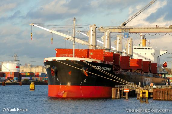
Vessel profile: DARYA KAVRI is a Cargo with dimensions m x m.
This page combines live AIS, route history, probable destination signals, nearby traffic, and port activity for practical vessel monitoring.
The current position of vessel DARYA KAVRI is 3.98022 lat / 140.43507 lng. Updated: 2026-05-21 17:27:43 UTCCurrently sailing under the flag of United Kingdom ![]()
Details:
Live Vessel DARYA KAVRI Analytics (details, animations, etc.)
Recent AIS points (UTC):
2026-05-21 14:23:44 UTC · 4.55424, 140.11893 · SOG 12.9 kn · COG 154°2026-05-21 15:11:02 UTC · 4.40652, 140.20074 · SOG 12.8 kn · COG 153°
2026-05-21 16:25:06 UTC · 4.17381, 140.32732 · SOG 12.9 kn · COG 154°
2026-05-21 17:27:43 UTC · 3.98022, 140.43507 · SOG 12.5 kn · COG 154°