 P. BEL AIR
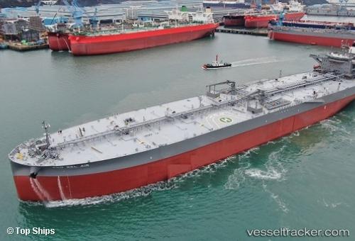
Current Status
Where is the vessel?
P. BEL AIR is currently in 11 nm E of Island View, based on AIS data received about 14h ago.
Latest AIS update:
Current position: 29.90629° S, 31.24454° E (11 nm E of Island View)
Average speed (last 7 days): Loading…
Average speed (last 30 days): Loading…
Vessel profile: P. BEL AIR is a Tanker with dimensions m x m.
This page combines live AIS, route history, probable destination signals, nearby traffic, and port activity for practical vessel monitoring.
The current position of vessel P. BEL AIR is -29.90629 lat / 31.24454 lng. Updated: 2026-05-20 22:18:18 UTCNearest reference points:
- Near Island View
- Near Umhlanga Rocks
- Near Durban
Currently sailing under the flag of Portugal ![]()
Details:
Live Vessel P. BEL AIR Analytics (details, animations, etc.)
Recent AIS points (UTC):
2026-05-20 18:04:50 UTC · -29.86336, 31.25655 · SOG 9.1 kn · COG 172°2026-05-20 19:34:19 UTC · -29.93408, 31.25524 · SOG 0.2 kn · COG 174°
2026-05-20 21:53:59 UTC · -29.91074, 31.24676 · SOG 0.9 kn · COG 233°
2026-05-20 22:18:18 UTC · -29.90629, 31.24454 · SOG 0.4 kn · COG 213°