 LUNNI
LUNNI
Current Status
Where is the vessel?
LUNNI is currently in 11 nm SE of Ronehamn, based on AIS data received about 15h ago.
Latest AIS update:
Current position: 57.01542° N, 18.67250° E (11 nm SE of Ronehamn)
Average speed (last 7 days): Loading…
Average speed (last 30 days): Loading…
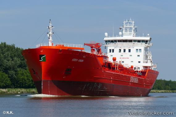
Vessel profile: LUNNI is a Oil/Chemical Tanker with dimensions 156m x 24m.
This page combines live AIS, route history, probable destination signals, nearby traffic, and port activity for practical vessel monitoring.
The current position of vessel LUNNI is 57.01542 lat / 18.67250 lng. Updated: 2026-05-19 12:01:33 UTCNearest reference points:
- 39 nm W of Pilies juru uosto PVP/Klaipeda
- Near Stora Vika
- Near WLADYSLAWOWO
Currently sailing under the flag of Finland ![]()
LUNNI built in 2018 year
Deadweight:
17500 tDetails:
Live Vessel LUNNI Analytics (details, animations, etc.)
Recent AIS points (UTC):
2026-05-19 08:04:42 UTC · 57.63022, 19.50378 · SOG 12.2 kn · COG 215°2026-05-19 10:07:03 UTC · 57.30852, 19.07397 · SOG 11.5 kn · COG 214°
2026-05-19 10:28:02 UTC · 57.25369, 19.00107 · SOG 11.5 kn · COG 215°
2026-05-19 12:01:33 UTC · 57.01542, 18.67250 · SOG 11.5 kn · COG 215°