 TRITON CENTURY
Current Status
Where is the vessel?
TRITON CENTURY is currently in 349 nm E of Parelhas, based on AIS data received about 15h ago.
Latest AIS update:
Current position: 7.10316° N, 30.81847° W (349 nm E of Parelhas)
Average speed (last 7 days): Loading…
Average speed (last 30 days): Loading…
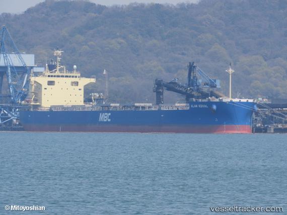
Vessel profile: TRITON CENTURY is a Cargo with dimensions m x m.
This page combines live AIS, route history, probable destination signals, nearby traffic, and port activity for practical vessel monitoring.
The current position of vessel TRITON CENTURY is 7.10316 lat / -30.81847 lng. Updated: 2026-05-19 09:25:31 UTCNearest reference points:
- Open sea (no nearby ports in database)
- Open sea, approx. 401 nm off the nearest listed port
- Open sea, approx. 404 nm off the nearest listed port
Currently sailing under the flag of Panama ![]()
Details:
Live Vessel TRITON CENTURY Analytics (details, animations, etc.)
Recent AIS points (UTC):
2026-05-19 05:21:50 UTC · 7.55958, -31.32878 · SOG 10.2 kn · COG 132°2026-05-19 07:23:00 UTC · 7.32923, -31.07633 · SOG 10.3 kn · COG 130°
2026-05-19 08:05:09 UTC · 7.25079, -30.98623 · SOG 10 kn · COG 129°
2026-05-19 09:25:31 UTC · 7.10316, -30.81847 · SOG 10.2 kn · COG 130°