Maple
Current StatusWhere is the vessel?
Maple is currently in 290 nm SW of Benahavis, based on AIS data received about 14h ago.
Latest AIS update:
Current position: 32.36500° N, 53.50833° W (290 nm SW of Benahavis)
Average speed (last 7 days): Loading…
Average speed (last 30 days): Loading…
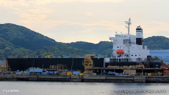
Vessel profile: Maple is a Wood Chips Carrier with dimensions 32m x 210m.
This page combines live AIS, route history, probable destination signals, nearby traffic, and port activity for practical vessel monitoring.
The current position of vessel Maple is 32.36500 lat / -53.50833 lng. Updated: 2026-05-18 22:01:49 UTCNearest reference points:
- 244 nm SW of Benahavis
- Open sea, approx. 401 nm off the nearest listed port
- Open sea, approx. 403 nm off the nearest listed port
Details:
Live Vessel Maple Analytics (details, animations, etc.)
Recent AIS points (UTC):
2026-05-18 17:19:48 UTC · 32.28833, -54.62500 · SOG 12 kn · COG -1°2026-05-18 19:16:49 UTC · 32.31333, -54.15667 · SOG 12 kn · COG -1°
2026-05-18 20:01:48 UTC · 32.32667, -53.97667 · SOG 12 kn · COG -1°
2026-05-18 22:01:49 UTC · 32.36500, -53.50833 · SOG 11 kn · COG -1°