 LISMORE
Current Status
Where is the vessel?
LISMORE is currently in 14 nm NW of Middelkerke, based on AIS data received about 14h ago.
Latest AIS update:
Current position: 51.37500° N, 2.62528° E (14 nm NW of Middelkerke)
Average speed (last 7 days): Loading…
Average speed (last 30 days): Loading…
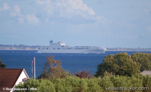
Vessel profile: LISMORE is a Cargo with dimensions m x m.
This page combines live AIS, route history, probable destination signals, nearby traffic, and port activity for practical vessel monitoring.
The current position of vessel LISMORE is 51.37500 lat / 2.62528 lng. Updated: 2026-05-20 10:25:56 UTCNearest reference points:
- 13 nm NW of Middelkerke
- Near Lombardsijde
- Near Oostende
Currently sailing under the flag of Malta ![]()
Details:
Live Vessel LISMORE Analytics (details, animations, etc.)
Recent AIS points (UTC):
2026-05-20 07:43:01 UTC · 51.33218, 3.19325 · SOG 0 kn · COG 13°2026-05-20 08:04:31 UTC · 51.33167, 3.19333 · SOG 0 kn · COG -1°
2026-05-20 09:41:38 UTC · 51.37987, 2.91675 · SOG 16.3 kn · COG 262°
2026-05-20 10:25:56 UTC · 51.37500, 2.62528 · SOG 15.4 kn · COG 276°