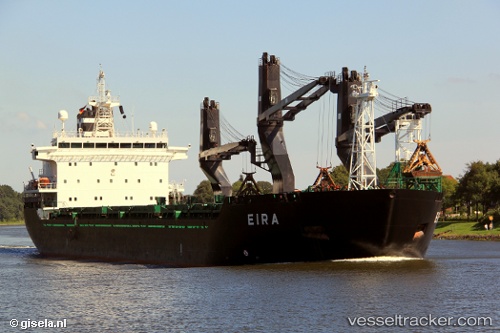
 Eira
Eira
Current Status
Where is the vessel?
Eira is currently in 18 nm S of KORRVIK, based on AIS data received about 14h ago.
Latest AIS update:
Current position: 59.79319° N, 19.75430° E (18 nm S of KORRVIK)
Average speed (last 7 days): Loading…
Average speed (last 30 days): Loading…
Vessel profile: Eira is a General Cargo Ship with dimensions 157m x 25m.
This page combines live AIS, route history, probable destination signals, nearby traffic, and port activity for practical vessel monitoring.
The current position of vessel Eira is 59.79319 lat / 19.75430 lng. Updated: 2026-05-25 04:25:19 UTCNearest reference points:
- Near MARIEHAMN
- Near Maarianhamina (Mariehamn)
- Near Finström
Currently sailing under the flag of Finland ![]()
Eira built in 2001 year
Deadweight:
19625 tDetails:
Live Vessel Eira Analytics (details, animations, etc.)
Recent AIS points (UTC):
2026-05-25 01:10:00 UTC · 59.31609, 19.95267 · SOG 11 kn · COG 30°2026-05-25 01:43:49 UTC · 59.40595, 20.05194 · SOG 10.9 kn · COG 28°
2026-05-25 04:17:50 UTC · 59.77581, 19.78343 · SOG 10.7 kn · COG 320°
2026-05-25 04:25:19 UTC · 59.79319, 19.75430 · SOG 10.7 kn · COG 322°