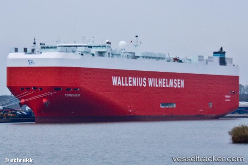
 Toreador
Current Status
Where is the vessel?
Toreador is currently in Near Songgong, based on AIS data received about 14h ago.
Latest AIS update:
Current position: 34.72739° N, 126.21453° E (Near Songgong)
Average speed (last 7 days): Loading…
Average speed (last 30 days): Loading…
Vessel profile: Toreador is a Vehicles Carrier with dimensions 200m x 33m.
This page combines live AIS, route history, probable destination signals, nearby traffic, and port activity for practical vessel monitoring.
The current position of vessel Toreador is 34.72739 lat / 126.21453 lng. Updated: 2026-06-02 01:36:59 UTCNearest reference points:
- Near Songgong
- Near Mokpo Apt
- Near Mokpo
Currently sailing under the flag of Malta ![]()
Toreador built in 2008 year
Deadweight:
22098 tDetails:
Live Vessel Toreador Analytics (details, animations, etc.)
Recent AIS points (UTC):
2026-06-01 22:03:59 UTC · 34.72613, 126.21515 · SOG 0 kn · COG 13°2026-06-01 23:33:59 UTC · 34.72638, 126.21498 · SOG 0 kn · COG 42°
2026-06-02 01:24:59 UTC · 34.72736, 126.21420 · SOG 0 kn · COG 137°
2026-06-02 01:36:59 UTC · 34.72739, 126.21453 · SOG 0 kn · COG 141°