 Emilia
Current Status
Where is the vessel?
Emilia is currently in 246 nm NE of Ben Slimane, based on AIS data received about 14h ago.
Latest AIS update:
Current position: 36.75833° N, 67.98167° W (246 nm NE of Ben Slimane)
Average speed (last 7 days): Loading…
Average speed (last 30 days): Loading…
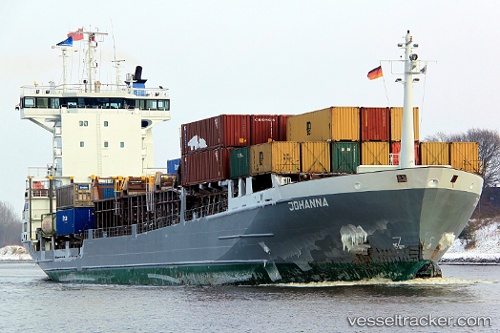
Vessel profile: Emilia is a Container Ship with dimensions 121m x 18m.
This page combines live AIS, route history, probable destination signals, nearby traffic, and port activity for practical vessel monitoring.
The current position of vessel Emilia is 36.75833 lat / -67.98167 lng. Updated: 2026-05-23 06:07:12 UTCNearest reference points:
- 169 nm NE of Ben Slimane
- 273 nm SE of NANTUCKET
- 187 nm SE of Offshore Ambrose
Currently sailing under the flag of Antigua Barbuda ![]()
Emilia built in 1999 year
Deadweight:
7131 tDetails:
Live Vessel Emilia Analytics (details, animations, etc.)
Recent AIS points (UTC):
2026-05-23 02:13:11 UTC · 36.66833, -67.95333 · SOG 1 kn · COG -1°2026-05-23 04:04:12 UTC · 36.70333, -67.96333 · SOG 1 kn · COG -1°
2026-05-23 04:43:13 UTC · 36.71833, -67.97167 · SOG 1 kn · COG -1°
2026-05-23 06:07:12 UTC · 36.75833, -67.98167 · SOG 2 kn · COG -1°