 PGE LILY
Current Status
Where is the vessel?
PGE LILY is currently in Near Famagusta, based on AIS data received about 32d ago.
Latest AIS update:
Current position: 35.12716° N, 33.94468° E (Near Famagusta)
Average speed (last 7 days): Loading…
Average speed (last 30 days): Loading…
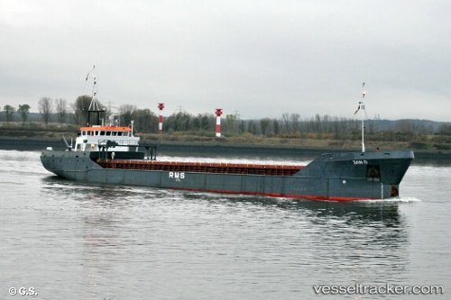
Vessel profile: PGE LILY is a General Cargo Ship with dimensions 76m x 11m.
This page combines live AIS, route history, probable destination signals, nearby traffic, and port activity for practical vessel monitoring.
The current position of vessel PGE LILY is 35.12716 lat / 33.94468 lng. Updated: 2026-04-29 10:45:37 UTCNearest reference points:
- Near Larnaca
- 17 nm S of Vasilikos
- 31 nm SE of Vasilikos
Currently sailing under the flag of Palau (Republic of) ![]()
PGE LILY built in 1991 year
Deadweight:
1820 tDetails:
Live Vessel PGE LILY Analytics (details, animations, etc.)
Recent AIS points (UTC):
2026-04-29 10:45:37 UTC · 35.12716, 33.94468 · SOG 0 kn · COG 321°