 vesseltracker.com
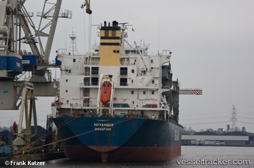
 HOYANGER
Current Status
Where is the vessel?
HOYANGER is currently in Near ONSAN, based on AIS data received about 14h ago.
Latest AIS update:
Current position: 35.39648° N, 129.42108° E (Near ONSAN)
Average speed (last 7 days): Loading…
Average speed (last 30 days): Loading…
Vessel profile: HOYANGER is a General Cargo Ship with dimensions 31m x 213m.
This page combines live AIS, route history, probable destination signals, nearby traffic, and port activity for practical vessel monitoring.
The current position of vessel HOYANGER is 35.39648 lat / 129.42108 lng. Updated: 2026-05-18 09:55:55 UTCNearest reference points:
- Near ONSAN
- Near Ulsan
- Near Ilsan
Currently sailing under the flag of Marshall Islands ![]()
HOYANGER built in 1995 year
Deadweight:
50198 tDetails:
Live Vessel HOYANGER Analytics (details, animations, etc.)
Recent AIS points (UTC):
2026-05-18 05:50:59 UTC · 35.46138, 129.37321 · SOG 0 kn · COG 204°2026-05-18 07:23:53 UTC · 35.46139, 129.37325 · SOG 0 kn · COG 204°
2026-05-18 07:39:02 UTC · 35.46138, 129.37321 · SOG 0 kn · COG 204°
2026-05-18 09:55:55 UTC · 35.39648, 129.42108 · SOG 12.3 kn · COG 171°