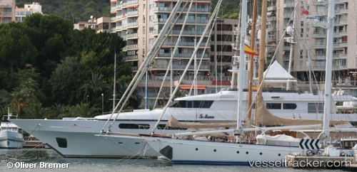
 Te Manu
Current Status
Where is the vessel?
Te Manu is currently in Near ST THOMAS, based on AIS data received about 14h ago.
Latest AIS update:
Current position: 18.33528° N, 64.92245° W (Near ST THOMAS)
Average speed (last 7 days): Loading…
Average speed (last 30 days): Loading…
Vessel profile: Te Manu is a Service Ship with dimensions 49m x 10m.
This page combines live AIS, route history, probable destination signals, nearby traffic, and port activity for practical vessel monitoring.
The current position of vessel Te Manu is 18.33528 lat / -64.92245 lng. Updated: 2026-06-04 19:29:29 UTCNearest reference points:
- Near Charlotte Amalie
- Near ST THOMAS
- Near Norman Island
Currently sailing under the flag of Cayman Is ![]()
Te Manu built in 1998 year
Deadweight:
110 tDetails:
Live Vessel Te Manu Analytics (details, animations, etc.)
Recent AIS points (UTC):
2026-06-04 17:20:21 UTC · 18.33528, -64.92245 · SOG 0.1 kn · COG 251°2026-06-04 18:05:24 UTC · 18.33530, -64.92243 · SOG 0.1 kn · COG 252°
2026-06-04 19:24:57 UTC · 18.33500, -64.92167 · SOG 0 kn · COG -1°
2026-06-04 19:29:29 UTC · 18.33528, -64.92245 · SOG 0 kn · COG 252°