 FAST SIM
Current Status
Where is the vessel?
FAST SIM is currently in Near Pijp Tabak, based on AIS data received about 14h ago.
Latest AIS update:
Current position: 51.25496° N, 4.35394° E (Near Pijp Tabak)
Average speed (last 7 days): Loading…
Average speed (last 30 days): Loading…
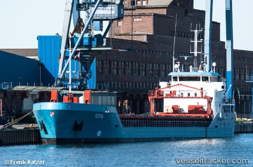
Vessel profile: FAST SIM is a General Cargo Ship with dimensions 90m x 12m.
This page combines live AIS, route history, probable destination signals, nearby traffic, and port activity for practical vessel monitoring.
The current position of vessel FAST SIM is 51.25496 lat / 4.35394 lng. Updated: 2026-05-19 00:04:14 UTCNearest reference points:
- Near Antwerp
- Near Kruibeke
- Near Kallo
Currently sailing under the flag of Belgium ![]()
FAST SIM built in 2008 year
Deadweight:
3609 tDetails:
Live Vessel FAST SIM Analytics (details, animations, etc.)
Recent AIS points (UTC):
2026-05-18 20:22:03 UTC · 51.25495, 4.35393 · SOG 0 kn · COG 239°2026-05-18 21:43:36 UTC · 51.25333, 4.35333 · SOG 0 kn · COG -1°
2026-05-18 22:58:50 UTC · 51.25497, 4.35395 · SOG 0 kn · COG -1°
2026-05-19 00:04:14 UTC · 51.25496, 4.35394 · SOG 0 kn · COG -1°