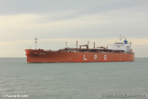
Dorset
Current StatusWhere is the vessel?
Dorset is currently in 26 nm S of Bridgetown, based on AIS data received about 15h ago.
Latest AIS update:
Current position: 12.67588° N, 59.77771° W (26 nm S of Bridgetown)
Average speed (last 7 days): Loading…
Average speed (last 30 days): Loading…
Vessel profile: Dorset is a Lpg Tanker with dimensions 38m x 226m.
This page combines live AIS, route history, probable destination signals, nearby traffic, and port activity for practical vessel monitoring.
The current position of vessel Dorset is 12.67588 lat / -59.77771 lng. Updated: 2026-05-20 17:49:20 UTCNearest reference points:
- Near Saint Michael
- Near Kingstown
- Near Gros Islet
Details:
Live Vessel Dorset Analytics (details, animations, etc.)
Recent AIS points (UTC):
2026-05-20 13:48:16 UTC · 12.05754, -59.00166 · SOG 14.3 kn · COG 311°2026-05-20 15:46:38 UTC · 12.36501, -59.39277 · SOG 15.5 kn · COG 317°
2026-05-20 16:31:37 UTC · 12.47990, -59.53531 · SOG 14.3 kn · COG 315°
2026-05-20 17:49:20 UTC · 12.67588, -59.77771 · SOG 14.5 kn · COG 315°