 Soniland
Current Status
Where is the vessel?
Soniland is currently in 28 nm NW of Thyborøn, based on AIS data received about 15h ago.
Latest AIS update:
Current position: 56.94558° N, 7.50127° E (28 nm NW of Thyborøn)
Average speed (last 7 days): Loading…
Average speed (last 30 days): Loading…
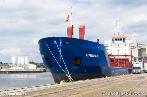
Vessel profile: Soniland is a Multi Purpose Carrier with dimensions 90m x 90m.
This page combines live AIS, route history, probable destination signals, nearby traffic, and port activity for practical vessel monitoring.
The current position of vessel Soniland is 56.94558 lat / 7.50127 lng. Updated: 2026-05-19 04:13:56 UTCNearest reference points:
- Near Thyborøn
- 36 nm W of HVIDE SANDE
- Near HANSTHOLM
Currently sailing under the flag of Gibraltar ![]()
Soniland built in 1997 year
Deadweight:
4085 tDetails:
Live Vessel Soniland Analytics (details, animations, etc.)
Recent AIS points (UTC):
2026-05-19 01:21:46 UTC · 57.21173, 8.32885 · SOG 10.5 kn · COG 239°2026-05-19 01:50:06 UTC · 57.16979, 8.19693 · SOG 10.5 kn · COG 239°
2026-05-19 04:00:25 UTC · 56.96595, 7.56857 · SOG 11.2 kn · COG 240°
2026-05-19 04:13:56 UTC · 56.94558, 7.50127 · SOG 11 kn · COG 240°