Sea Harmony
Current StatusWhere is the vessel?
Sea Harmony is currently in 318 nm SE of Abakaliki, based on AIS data received about 14h ago.
Latest AIS update:
Current position: 2.63627° N, 89.81545° E (318 nm SE of Abakaliki)
Average speed (last 7 days): Loading…
Average speed (last 30 days): Loading…
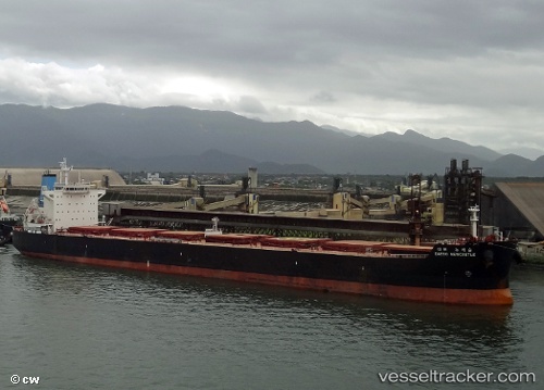
Vessel profile: Sea Harmony is a Bulk Carrier with dimensions 32m x 229m.
This page combines live AIS, route history, probable destination signals, nearby traffic, and port activity for practical vessel monitoring.
The current position of vessel Sea Harmony is 2.63627 lat / 89.81545 lng. Updated: 2026-05-23 02:20:06 UTCNearest reference points:
- Open sea, approx. 401 nm off the nearest listed port
- Open sea, approx. 408 nm off the nearest listed port
- Open sea, approx. 402 nm off the nearest listed port
Details:
Live Vessel Sea Harmony Analytics (details, animations, etc.)
Recent AIS points (UTC):
2026-05-22 22:07:36 UTC · 2.27333, 89.27333 · SOG 9 kn · COG -1°2026-05-23 00:17:14 UTC · 2.45683, 89.55363 · SOG 9.2 kn · COG 57°
2026-05-23 01:04:40 UTC · 2.52333, 89.65333 · SOG 9 kn · COG -1°
2026-05-23 02:20:06 UTC · 2.63627, 89.81545 · SOG 9.4 kn · COG 55°