 Heerengracht
Current Status
Where is the vessel?
Heerengracht is currently in Near Proctor, based on AIS data received about 14h ago.
Latest AIS update:
Current position: 46.75833° N, 92.10333° W (Near Proctor)
Average speed (last 7 days): Loading…
Average speed (last 30 days): Loading…
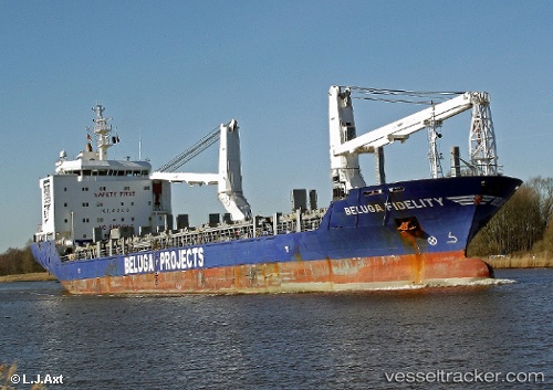
Vessel profile: Heerengracht is a Heavy Load Carrier with dimensions 138m x 21m.
This page combines live AIS, route history, probable destination signals, nearby traffic, and port activity for practical vessel monitoring.
The current position of vessel Heerengracht is 46.75833 lat / -92.10333 lng. Updated: 2026-05-20 19:24:24 UTCNearest reference points:
- Near La Pointe
Currently sailing under the flag of Netherlands ![]()
Heerengracht built in 2009 year
Deadweight:
12678 tDetails:
Live Vessel Heerengracht Analytics (details, animations, etc.)
Recent AIS points (UTC):
2026-05-20 16:15:22 UTC · 46.75833, -92.10333 · SOG 0 kn · COG -1°2026-05-20 18:24:21 UTC · 46.75833, -92.10333 · SOG 0 kn · COG -1°
2026-05-20 19:23:15 UTC · 46.75873, -92.10350 · SOG 0 kn · COG 61°
2026-05-20 19:24:24 UTC · 46.75833, -92.10333 · SOG 0 kn · COG -1°