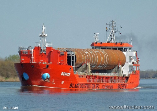
 Bente
Bente
Current Status
Where is the vessel?
Bente is currently in 12 nm NW of Oostende, based on AIS data received about 14h ago.
Latest AIS update:
Current position: 51.41171° N, 2.75120° E (12 nm NW of Oostende)
Average speed (last 7 days): Loading…
Average speed (last 30 days): Loading…
Vessel profile: Bente is a General Cargo Ship with dimensions 90m x 14m.
This page combines live AIS, route history, probable destination signals, nearby traffic, and port activity for practical vessel monitoring.
The current position of vessel Bente is 51.41171 lat / 2.75120 lng. Updated: 2026-05-20 09:41:37 UTCNearest reference points:
- 13 nm NW of Middelkerke
- Near Oostende
- Near Sas-Slijkens
Currently sailing under the flag of Netherlands ![]()
Bente built in 2008 year
Deadweight:
4000 tDetails:
Live Vessel Bente Analytics (details, animations, etc.)
Recent AIS points (UTC):
2026-05-20 06:06:17 UTC · 51.51776, 2.88864 · SOG 10.6 kn · COG 317°2026-05-20 07:44:19 UTC · 51.53500, 2.84415 · SOG 0.6 kn · COG 219°
2026-05-20 08:06:17 UTC · 51.53258, 2.84114 · SOG 0.5 kn · COG 218°
2026-05-20 09:41:37 UTC · 51.41171, 2.75120 · SOG 9.4 kn · COG 194°