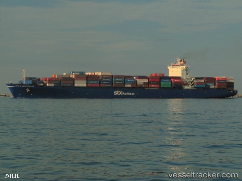
 JOLLY CLIVIA
Current Status
Where is the vessel?
JOLLY CLIVIA is currently in 28 nm E of Mombasa, based on AIS data received about 14h ago.
Latest AIS update:
Current position: 4.18369° S, 40.13983° E (28 nm E of Mombasa)
Average speed (last 7 days): Loading…
Average speed (last 30 days): Loading…
Vessel profile: JOLLY CLIVIA is a Container Ship with dimensions m x m.
This page combines live AIS, route history, probable destination signals, nearby traffic, and port activity for practical vessel monitoring.
The current position of vessel JOLLY CLIVIA is -4.18369 lat / 40.13983 lng. Updated: 2026-05-21 05:58:22 UTCNearest reference points:
- 11 nm SE of Mombasa
- Near Mombasa
Currently sailing under the flag of Italy ![]()
Details:
Live Vessel JOLLY CLIVIA Analytics (details, animations, etc.)
Recent AIS points (UTC):
2026-05-21 01:43:50 UTC · -4.27004, 40.01953 · SOG 2.8 kn · COG 79°2026-05-21 03:57:02 UTC · -4.18636, 40.07945 · SOG 2.6 kn · COG 80°
2026-05-21 04:14:13 UTC · -4.17568, 40.08850 · SOG 3.2 kn · COG 70°
2026-05-21 05:58:22 UTC · -4.18369, 40.13983 · SOG 9.2 kn · COG 200°