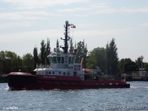
 BOA BRAGE
Current Status
Where is the vessel?
BOA BRAGE is currently in Near Ad Dubayyah, based on AIS data received about 14h ago.
Latest AIS update:
Current position: 33.96195° N, 35.57562° E (Near Ad Dubayyah)
Average speed (last 7 days): Loading…
Average speed (last 30 days): Loading…
Vessel profile: BOA BRAGE is a Tug with dimensions m x m.
This page combines live AIS, route history, probable destination signals, nearby traffic, and port activity for practical vessel monitoring.
The current position of vessel BOA BRAGE is 33.96195 lat / 35.57562 lng. Updated: 2026-05-22 23:55:24 UTCNearest reference points:
- Near DBAIYEH
- Near Zouk
- Near Tripoli
Currently sailing under the flag of Malta ![]()
Details:
Live Vessel BOA BRAGE Analytics (details, animations, etc.)
Recent AIS points (UTC):
2026-05-22 19:58:23 UTC · 33.96056, 35.57890 · SOG 0.1 kn · COG 253°2026-05-22 21:34:24 UTC · 33.96162, 35.57790 · SOG 0.4 kn · COG 208°
2026-05-22 22:07:24 UTC · 33.96191, 35.57651 · SOG 0 kn · COG 174°
2026-05-22 23:55:24 UTC · 33.96195, 35.57562 · SOG 0.1 kn · COG 159°